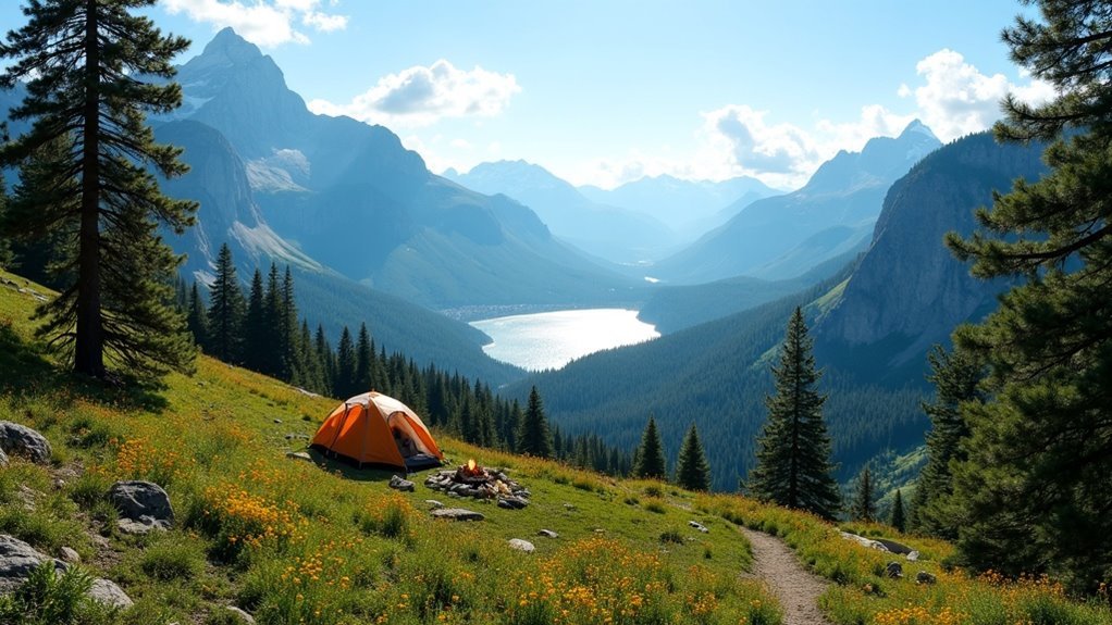
To find dispersed camping options for your hiking trips, explore public lands managed by the Bureau of Land Management and National Forest Service. Use apps like iOverlander and Google Maps to identify remote campsites and check road accessibility. Remember to maintain a safe distance from water sources and research local regulations. By venturing further down forest roads, you can discover quieter spots. If you want to learn more tips for a successful outdoor adventure, keep going!
Key Takeaways
- Utilize apps like iOverlander and Dyrt to find user-submitted dispersed camping spots and read reviews on accessibility and conditions.
- Research local regulations regarding dispersed camping, including occupancy limits and fire restrictions, before your trip.
- Check Google Maps’ satellite view to identify clearings along forest roads for potential camping sites.
- Drive further down forest roads to discover quieter and less crowded dispersed camping locations.
- Follow Leave No Trace principles to minimize your environmental impact while enjoying the outdoors.
Exploring Public Lands for Dispersed Camping
When you venture into the great outdoors, exploring public lands for dispersed camping can reveal a world of adventure and solitude. Managed by the Bureau of Land Management and the National Forest Service, these lands offer countless opportunities for memorable hiking trips.
You can find campsites away from established campgrounds, as long as you’re at least 100 feet from water sources. Use apps like iOverlander to locate the best spots while checking road conditions and land ownership.
Remember to research local regulations and practice responsible outdoor practices to protect these beautiful areas for future campers.
Utilizing Technology to Locate Campsites
As you prepare for your next hiking adventure, harnessing technology can considerably enhance your ability to locate ideal dispersed camping sites.
Apps like iOverlander and onX Offroad offer user-submitted locations, detailing accessibility, cell service, and nearby hiking trails.
Explore user-submitted locations on iOverlander and onX Offroad, featuring details on accessibility, cell service, and nearby trails.
Use Google Maps’ satellite view to spot potential campsites by identifying clearings along forest roads.
For advanced mapping, CalTopo provides land ownership overlays to guarantee you’re on public land.
The US Public Lands App helps confirm legal camping areas in BLM and National Forests.
Don’t forget the reliability of Benchmark Road Atlases for a tech-free approach to planning your trip.
Popular Apps for Finding Free Campsites
Finding the perfect free campsite can be a breeze with the right apps at your fingertips.
Start with iOverlander for crowd-sourced dispersed camping spots complete with user reviews and photos. The Dyrt app is invaluable, offering a vast directory of free and paid campsites, enhanced by public land overlays.
For a straightforward option, check out FreeCampsites.net to pinpoint affordable camping locations across the U.S. Campendium caters to RV enthusiasts, showcasing user reviews and cell signal filters.
Finally, the US Public Lands App provides essential public land overlays for verifying legal camping areas offline.
Happy camping!
Tips for Successful Dispersed Camping
Successful dispersed camping requires a blend of preparation and adaptability. Start by researching local regulations, including campsite occupancy limits and fire restrictions, to guarantee compliance.
Use apps like iOverlander for user-submitted information while planning a route. Drive further down forest roads to discover quieter spots, and always scout multiple potential camping spots in advance.
By following Leave No Trace principles, you’ll minimize your impact—choose previously used sites, pack out all trash, and leave nature undisturbed for future visitors.
Embrace the adventure of finding free dispersed camping, and you’ll create unforgettable experiences while preserving the beauty of the wilderness.
Safety and Preparedness for Hiking Trips
When you set out on a hiking trip, safety and preparedness should be at the forefront of your planning. Inform someone of your route and expected return. Pack essential safety gear, like a first aid kit, emergency whistle, and multi-tool. Use a paper map or GPS for navigation when cell service is unreliable. Familiarize yourself with local wildlife and weather conditions to enhance your preparedness. Guarantee you have adequate food and water for the journey.
| Essential Item | Purpose | Tips |
|---|---|---|
| Safety Gear | Emergency situations | Include a first aid kit |
| Navigation | Finding your way | Use a map or GPS |
| Food and Water | Sustaining energy | Pack extra |
| Weather Preparedness | Dressing for conditions | Layer clothing |