
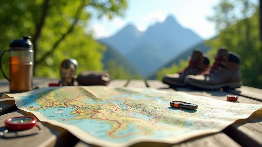
To find official maps for long-distance hiking routes, check resources from the U.S. Forest Service and National Park Service for high-quality trail maps. State departments of natural resources also provide downloadable options. Don’t forget local outdoor retailers; they often carry specialized maps and knowledgeable staff can guide you on the best trails. Online platforms like AllTrails and the North Country Trail Association offer digital maps too. Keep exploring, and you’ll uncover even more useful tips and resources.
Key Takeaways
- Visit the U.S. Forest Service and National Park Service websites for official long-distance hiking trail maps.
- Access topographic maps from the U.S. Geological Survey for detailed elevation and terrain information.
- Download maps from state departments of natural resources for state-managed long-distance trails.
- Explore resources from the National Trails System for scenic and historic long-distance trails.
- Check local government websites for printable trail maps and GPS files tailored for long-distance hiking.
Government Agency Resources for Trail Maps
When you’re planning a long-distance hike, tapping into government agency resources can be invaluable. Agencies like the U.S. Forest Service and National Park Service offer official trail maps that guide you through breathtaking national parks and forests.
The U.S. Geological Survey provides topographic maps detailing elevation changes and terrain features, essential for your journey. Many states also have departments of natural resources with downloadable maps covering state-managed trails.
Plus, the National Trails System offers extensive resources for scenic and historic trails. Local government websites often feature printable trail maps and GPS files, making route planning a breeze.
Local Outdoor Retailers and Specialized Maps
Local outdoor retailers are a treasure trove for long-distance hikers seeking specialized maps tailored to their unique adventures.
Here, you’ll find detailed trail maps focused on local long-distance trails, packed with essential information like trail conditions, landmarks, and access points. Knowledgeable staff can guide you to the best maps for your journey and share valuable insights about the region.
Discover detailed trail maps for local long-distance hikes, featuring essential information and expert guidance from knowledgeable staff.
Many retailers also offer digital maps and GPS tools, ensuring you have the latest trail information right at your fingertips.
With additional resources such as camping sites and water sources, these maps help you navigate your long-distance hiking experience with confidence.
Online Platforms for Downloadable Trail Maps
How can you find the perfect downloadable trail maps for your next long-distance hike? Start by exploring the North Country Trail Association‘s website, where you can access free official maps and GPS files.
Platforms like AllTrails offer user-generated trail maps, complete with detailed reviews to guide your adventure. The Avenza app is another fantastic resource, providing downloadable maps that work offline in remote areas.
Websites such as FarOut Guides combine extensive trail guides with innovative route planning features. Don’t forget to check government agencies and non-profits for topographic maps tailored to specific long-distance hiking routes across the country.
Non-Profit Organizations and Conservation Focused Guides
While starting a long-distance hike, turning to non-profit organizations can greatly enhance your experience with reliable, up-to-date maps and guides.
Here’s how they can help:
- Accurate Maps: Non-profits like the North Country Trail Association offer free downloadable maps, ensuring you’re well-informed on your route.
- Detailed Guides: The Appalachian Trail Conservancy provides essential information on trail conditions and access points, helping you plan effectively.
- Conservation Focus: Many organizations engage local volunteers to maintain trails, emphasizing sustainable use of natural resources while guiding your adventure.
Understanding Different Types of Maps
When planning your long-distance hike, understanding the various types of maps at your disposal can greatly enhance your navigation skills. Here’s a breakdown of the main types:
| Map Type | Description |
|---|---|
| Trail Maps | Focus on designated routes, conditions, and access points. |
| Topographic Maps | Show elevation changes and terrain features. |
| Satellite Maps | Offer aerial views for visualizing the landscape. |
| Thematic Maps | Highlight specific features like water sources. |
Choosing the right map can make your hike safer and more enjoyable, ensuring you have all the information needed to serve your hiking companions effectively.
Tips for Navigating With Maps
Guiding with maps can feel intimidating, but mastering a few essential tips can transform the experience into an enjoyable adventure.
Mastering essential mapping tips can turn an intimidating navigation experience into an enjoyable adventure.
When charting the Appalachian Trail, consider these key strategies:
- Familiarize Yourself with Symbols: Understand map legends to identify trail types and landmarks.
- Use Topographic Maps: Gain insights into elevation changes and terrain that affect your hike.
- Carry Both Digital and Paper Maps: Ascertain you have reliable navigation tools, especially in areas with poor cell service.
Keeping Your Maps Updated for Accurate Navigation
Keeping your maps updated is essential for traversing long-distance hiking routes safely and effectively. Official sources, like the North Country Trail Association, frequently refresh their maps to reflect trail conditions. Utilize both paper maps and apps, like the Far Out App, for real-time updates. Regularly check trail association websites for alerts on closures or changes.
| Source Type | Update Frequency | Benefits |
|---|---|---|
| Official Maps | Regularly updated | Accurate navigation |
| Hiking Apps | Real-time updates | Current trail conditions |
| Newsletters | As needed | Important alerts |
| Combination Use | Ongoing | Extensive coverage |
Stay informed and hike confidently!