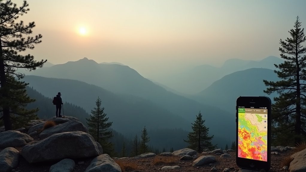
To check wildfire smoke impacts on hiking air quality, use real-time resources like AirNow, which provides up-to-date air quality data across the U.S. Mobile apps like Smoke Sense and Plume Labs can also keep you informed. Always monitor the Air Quality Index (AQI); levels above 150 indicate significant health risks. Adjust your hiking plans accordingly and engage with local communities for the latest insights. You’ll find more tips to navigate hiking safely amidst changing conditions.
Key Takeaways
- Use AirNow for real-time air quality data and wildfire smoke impacts across the U.S.
- Check local weather services for air quality insights included in forecasts.
- Monitor mobile apps like Smoke Sense and Plume Labs for accessible updates on air quality.
- Engage with community forums to share trail conditions and safety tips related to smoke.
- Refer to the US Air Quality Index (AQI) for health risk evaluations while planning hikes.
Health Impacts of Wildfire Smoke Exposure
Wildfire smoke poses significant health risks due to its complex mixture of harmful pollutants. Inhalation can cause immediate symptoms like coughing, throat irritation, and shortness of breath, especially for vulnerable groups such as children and the elderly.
Long-term exposure can lead to serious health issues, including exacerbated respiratory and cardiovascular diseases. Even individuals living far from the fire site face risks, indicating that smoke pollution affects broader areas than you might think.
Pregnant individuals are particularly at risk, as exposure may result in adverse birth outcomes. Monitoring air quality during wildfires is essential for protecting community health.
Understanding Exposure Levels
Health risks from wildfire smoke exposure are heightened for hikers, especially given the intensity of smoke pollution compared to regular air quality issues.
The US Air Quality Index (AQI) serves as an essential tool for evaluating these risks. An AQI of 51-150 suggests you should reconsider hiking plans, while an AQI above 150 means avoiding outdoor activities altogether.
Vulnerable groups, like children, seniors, and those with chronic lung diseases, face even greater dangers.
What the PCTA Says
When planning your next hiking adventure, it’s crucial to heed the guidance from the Pacific Crest Trail Association (PCTA) regarding air quality. Smoke from a nearby wildfire can greatly impact your health, especially if the US Air Quality Index (AQI) exceeds 150. The PCTA advises considering alternatives for AQI levels between 51 and 150. Here’s a quick reference table to help you assess the situation:
| AQI Level | Recommendation | At-Risk Groups |
|---|---|---|
| 0 – 50 | Safe for all hikers | N/A |
| 51 – 150 | Consider postponing hikes | Under 18, over 65, smokers |
| 151 and above | Avoid hiking | Chronic lung disease sufferers |
| Utilize masks | NIOSH N95 or P100 masks recommended | Not a complete solution |
| Stay informed | Check local air quality reports regularly | Adjust plans as needed |
Flexibility Is Key
Given the unpredictable nature of wildfire smoke, maintaining flexibility in your hiking plans is essential for ensuring safety and enjoyment.
Air quality can change rapidly, so it’s vital to monitor real-time reports, particularly when the Air Quality Index (AQI) exceeds 150. Adjusting your route or postponing your trip can mitigate health risks.
Pay attention to local wind patterns to identify peak smoke times, favoring early morning or late evening hikes. Staying updated on fire closures and engaging with local hiking communities can provide insights into areas with better air quality, enhancing your overall safety during smoky conditions.
Community Insights
Maintaining flexibility in hiking plans isn’t just about adjusting routes; it also involves tapping into community insights that can greatly enhance your outdoor experience during wildfire smoke events.
Engaging with fellow hikers allows you to share real-time air quality updates and personal experiences regarding protective measures like N95 masks. Local hiking groups emphasize checking the US Air Quality Index, noting that levels above 150 pose health risks.
Additionally, many recommend adjusting your hiking schedule to early morning or late evening, when smoke levels tend to be lower. This supportive network fosters safety and awareness, ensuring you’re well-informed on air quality impacts.
Additional Resources for Hikers
As a hiker, staying informed about air quality is essential, especially during wildfire season.
You can utilize tools like the Air Quality Index and resources from the EPA to monitor smoke levels before hitting the trails.
Additionally, engaging with community forums can provide you with real-time insights on trail conditions and safety tips from fellow outdoor enthusiasts.
Air Quality Monitoring Tools
When you’re planning a hike, staying informed about air quality is essential, especially during wildfire season.
Utilizing air quality monitoring tools can help you make safer decisions. Here are some resources to take into account:
- AirNow: Real-time data on air quality across the U.S.
- Smoke Sense & Plume Labs’ Air Report: Mobile apps that provide accessible air quality updates.
- Local weather services: Forecasts that include air quality insights, alerting you to potential changes.
Recommended Safety Resources
Understanding air quality is just the first step in ensuring a safe hiking experience during wildfire season. Utilize resources like the US Air Quality Index (AQI) for real-time updates, identifying increased risk conditions.
Local health departments and environmental agencies publish valuable air quality reports, guiding your hiking choices. Websites such as AirNow and the EPA offer smoke impact information, complete with maps and forecasts.
The Pacific Crest Trail Association advises against hiking when the AQI exceeds 150 to protect your health.
Finally, engage with community platforms to share real-time experiences and updates on smoke conditions and trail closures.
Community Safety Insights
While hiking during wildfire season poses unique challenges, leveraging community insights can greatly enhance your safety and decision-making.
It’s safe to assume that connecting with fellow hikers will provide you with valuable, real-time information about air quality and smoke conditions.
Consider these resources:
- Local air quality monitoring apps like AirNow for updates on AQI levels.
- Social media groups to share firsthand trail experiences and smoke levels.
- Community forums and meetups to exchange safety tips and gear recommendations.