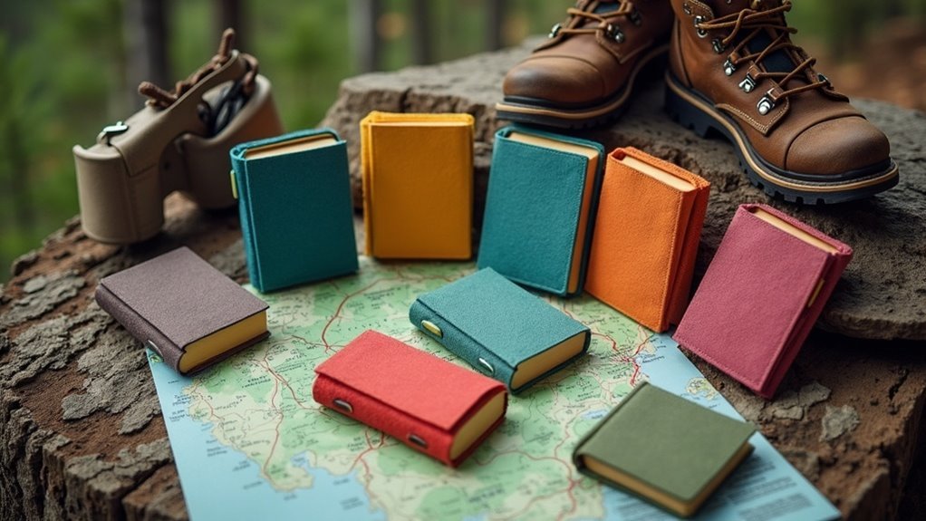
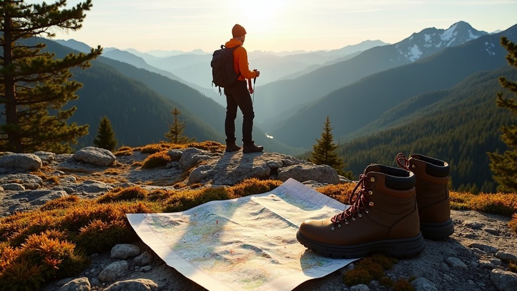
To navigate the backcountry effectively, you need strong map and compass skills, along with the ability to use GPS technology. Familiarize yourself with topographic maps to understand terrain features and practice taking bearings with a compass. Make sure you know off-trail navigation techniques, like dead reckoning, to adapt to changing conditions. Being prepared with the right tools and knowledge boosts your confidence in the wilderness and enhances your overall experience. Explore more to discover essential tips and techniques!
Key Takeaways
- Mastering map and compass skills is crucial for accurately determining direction and navigating in low-visibility conditions.
- Familiarity with topographic maps aids in understanding terrain, elevation changes, and planning routes effectively.
- Using GPS devices as a backup can enhance navigation, but developing a mental map of surroundings is essential.
- Off-trail navigation techniques help identify landmarks and optimize routes while assessing environmental factors.
- Continuous skill development and preparation for hikes are vital for safe and enjoyable backcountry adventures.
Importance of Navigation Skills
When you venture into the backcountry, having solid navigation skills is essential for your safety and enjoyment. The importance of navigation can’t be overstated; it helps you avoid getting lost in areas without clear signage.
While GPS devices offer convenience, relying solely on technology can be risky, as signals may fail. Mastering map and compass techniques is vital for accurate distance measurement and terrain assessment, enabling you to plan routes effectively.
Regular practice of these skills keeps them sharp, empowering you with confidence and independence. Ultimately, strong navigation skills enhance your overall wilderness experience, allowing you to serve others safely.
Essential Navigation Tools
Maneuvering the backcountry requires the right tools to guarantee a safe and enjoyable journey. A topographic map is essential, offering detailed terrain and elevation insights for effective route planning.
Pair this with a reliable compass to determine your direction, even in low-visibility conditions. While GPS devices provide precise location tracking and route mapping, they should serve as a backup to traditional methods.
An altimeter can help maintain your altitude, avoiding false summits. Additionally, navigational apps like Gaia GPS can enhance your experience by offering offline maps and trail conditions when used alongside your physical map and compass.
Map and Compass Skills
To navigate effectively in the backcountry, mastering map reading techniques and compass navigation basics is essential.
You’ll want to familiarize yourself with topographic maps to understand the terrain and how to orient your map with your compass.
Map Reading Techniques
Understanding map reading techniques is essential for successful backcountry hiking, as it allows you to navigate confidently through unfamiliar terrain.
Start by familiarizing yourself with the scale of your topographic map; for instance, a 1:24,000 scale means 1 inch equals 2,000 feet. Use your compass to orient the map by aligning north. Practice taking bearings to pinpoint your destination.
Pay attention to contour lines, which reveal elevation changes, helping you identify terrain steepness.
Finally, calculate your ETA using the formula DISTANCE = RATE * TIME, ensuring you’re prepared to serve others by keeping them informed of your progress.
Compass Navigation Basics
While you’re out in the backcountry, mastering compass navigation is essential for staying on track. Start by orienting your map; align the compass’s magnetic needle with the map’s north.
When you take bearings, determine your destination’s direction and transfer that to your map for clear backcountry navigation. Understanding declination— the difference between true north and magnetic north— is vital, so adjust your compass accordingly.
Use the map scale to measure distances, remembering that on a 1:24,000 scale, 1 inch equals 2,000 feet. Regular practice in familiar areas will enhance your confidence and skills for any hiking adventure.
GPS Technology in Hiking
When you’re out in the backcountry, GPS devices can be game-changers, offering real-time location tracking and offline maps for those remote areas.
However, relying solely on technology has its drawbacks, like battery life and potential malfunctions.
To make the most of your navigation, combine GPS tools with traditional skills like map and compass use for a well-rounded approach.
Advantages of GPS Devices
GPS devices have revolutionized backcountry hiking by providing hikers with unparalleled navigation capabilities.
With GPS units, you can enjoy precise location tracking, which is essential in featureless terrain. Many devices come with offline maps, so you can download critical information ahead of time and navigate without cell service.
- Plan custom routes and mark waypoints for future adventures.
- Access preloaded topographic maps to understand elevation changes and landmarks.
- Enhance your navigation accuracy by combining GPS technology with traditional methods, like maps and compasses.
Using Gaia GPS makes your hiking experience safer and more enjoyable, ensuring you’re always on the right path.
Limitations of GPS Technology
Even though GPS devices offer impressive navigation features, they come with significant limitations that every backcountry hiker should be aware of.
In areas without reliable signal, your GPS might fail, leaving you disoriented. Battery depletion and hardware malfunctions can also occur unexpectedly.
Relying solely on GPS hinders your ability to develop a mental map of your surroundings, which is essential for safe navigation. Environmental factors can affect GPS accuracy, causing errors.
Consequently, always carry a physical map and learn dead reckoning to supplement your skills, ensuring you’re prepared for any situation while exploring the great outdoors.
Integrating GPS With Skills
While traversing the backcountry, combining GPS technology with traditional skills can greatly enhance your hiking experience.
By integrating tools like Gaia GPS with your navigation skills, you can navigate confidently. Here are some key strategies:
- Download offline maps to access routes without cellular service.
- Use GPS files to mark waypoints and track your progress effectively.
- Practice traditional navigation methods alongside GPS to build resilience in featureless terrain.
This balanced approach guarantees you’re prepared for any situation, reinforcing your skills while enjoying the beauty of the outdoors.
Off-Trail Navigation Techniques
Exploring off-trail can be a rewarding adventure, but it requires a keen understanding of the landscape around you. Use topographic maps to identify key landmarks and contours, enhancing your navigation skills in unfamiliar terrain.
Assess horizontal distances and vertical changes while considering vegetation and ground cover that may affect your chosen path. Optimize your route by utilizing natural features like game trails and fall lines, steering clear of potential pitfalls such as canyons and cliffs.
Stay aware of the ever-changing terrain and adjust your navigation paths as needed, ensuring a safe and efficient journey through rugged landscapes.
Dead Reckoning Methods
As you venture into the backcountry, mastering dead reckoning methods can considerably enhance your navigation skills. This technique helps estimate your current position based on a known location by factoring in the distance traveled and direction taken.
To effectively use dead reckoning, keep these points in mind:
To master dead reckoning, remember to calculate your hiking speed and verify your progress with map and compass skills.
- Calculate your average hiking speed in miles per hour.
- Use the formula DISTANCE = RATE * TIME to track progress toward your next point seen.
- Regularly verify your calculations with map and compass skills to guarantee accuracy, especially in unfamiliar terrain.
With practice, your dead reckoning skills will improve, making your hikes more enjoyable and safe.
Community Engagement and Learning
Engaging with a community of navigation enthusiasts can greatly boost your skills and confidence in backcountry hiking. By participating in discussions and workshops, you’ll gain practical insights into effective navigation techniques and tools.
Encourage questions about navigation skills; this fosters a collaborative learning environment where everyone can share their successes and challenges. Sharing your personal experiences can inspire others to improve their skills and embrace outdoor adventures with greater confidence.
Don’t forget to incorporate Leave No Trace principles into your discussions, enhancing your community engagement while promoting responsible hiking practices. Together, you can elevate everyone’s navigation skills and environmental awareness.