
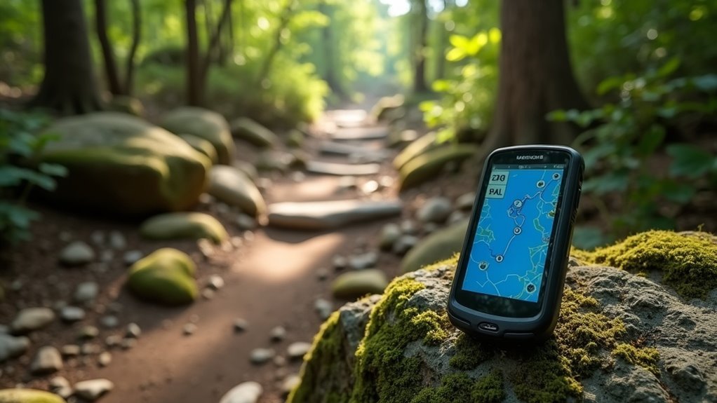
GPX, or GPS Exchange Format, is a powerful tool for digital hiking navigation. It allows you to store detailed GPS data, including waypoints, routes, and tracks. With GPX files, you can easily track your path and monitor elevation gains on your adventures. Many mapping apps support GPX, enhancing your hiking experience with precise navigation. If you’re curious about how to make the most of GPX files, there’s plenty more to discover about their benefits and usage.
Key Takeaways
- GPX (GPS Exchange Format) is a standardized XML file format for storing GPS data used in digital hiking navigation.
- It includes essential navigation components such as waypoints, tracks, and routes, enhancing hiking experiences.
- GPX files provide accurate geographical coordinates, ensuring compatibility across various mapping software and devices.
- They enable hikers to access detailed information on routes, elevation gains, and estimated hiking times for better planning.
- Community sharing of GPX files allows hikers to exchange valuable trail information and experiences.
Understanding GPX Files
When you’re out on the trail, GPX files become your digital compass, guiding you through uncharted territory. These standardized XML files store essential GPS data, including waypoints and tracks, all structured within specific tags.
You’ll find waypoints marked by “wpt” tags, while tracks are identified with “trk” tags. Utilizing the GPX format guarantees your coordinates are in WGS 84, making them compatible across various devices.
Plus, you can enrich your GPX files with extensions for additional data, like temperature or heart rate. With tools available for creation and editing, GPX files empower you to navigate confidently and serve fellow adventurers.
Key Components of GPX Files
GPX files are like a treasure map for modern hikers, revealing three essential components: waypoints, routes, and tracks. Understanding these elements helps you navigate effectively using GPX data on your GPS device.
- Waypoints: Geographical points defined by latitude and longitude, offering details like name and elevation.
- Routes: A series of waypoints guiding you from start to finish, marked by
tags. - Tracks: Breadcrumb trails formed by GPS devices, capturing a series of waypoints with
tags.
Together, these components enrich your hiking experience, ensuring you’re well-equipped for every adventure.
How to Open and Use GPX Files
Steering through the domain of GPX files opens up a new territory for hikers enthusiastic to enhance their outdoor adventures.
To open a GPX file, you can use various mapping software like Garmin Basecamp, CalTopo, or GaiaGPS. Simply download the GPX file, then import it into your chosen app or device.
This GPS Exchange Format file contains waypoints, routes, and tracks crucial for navigation. Most applications also display elevation profiles and metrics such as distance and estimated hiking time.
If you’re using Cicerone guide GPX files, follow their specific instructions to make the most of your hiking experience.
Benefits of Using GPX Files for Hiking
Exploring the outdoors becomes a lot more enjoyable and safer with the use of GPX files.
These digital tools enhance your hiking experience by providing:
Digital tools elevate your hiking adventures, offering detailed route information, precise navigation, and community sharing capabilities.
- Detailed information on hiking routes, including waypoints and elevation gains
- Accurate navigation to reduce the risk of getting lost
- The ability to share and access routes within a community of hikers
Creating and Obtaining GPX Files
When you’re ready to hit the trails, creating or obtaining GPX files can greatly enhance your hiking experience. You can design custom routes using digital mapping applications like CalTopo or GaiaGPS. Popular websites such as HikingGuy and AllTrails allow you to download free GPX files for various trails. Be sure to check the quality of these files before using them. Once you’ve got your GPX files, import them into compatible mapping apps like Garmin Basecamp or Google Earth for seamless navigation.
| Source | Action |
|---|---|
| HikingGuy | Download pre-made routes |
| AllTrails | Find popular trails |
| CalTopo/GPS | Create custom routes |
Future Trends in GPX and Hiking Technology
As you explore the future of GPX and hiking technology, you’ll notice a shift towards enhanced user interfaces that make navigation even more intuitive.
Real-time data integration will allow you to track conditions and updates on the go, while AI-powered navigation tools promise to personalize your hiking experience like never before.
Embracing these advancements won’t only improve your safety but also enrich your connection with nature.
Enhanced User Interfaces
In an era where technology continually reshapes our outdoor experiences, enhanced user interfaces are revolutionizing GPX navigation for hikers of all skill levels.
These intuitive designs make hiking more accessible and enjoyable.
- Augmented reality overlays GPX tracks onto your surroundings, improving navigation accuracy.
- Social features within apps let you share trails and tips, building a supportive community.
- Wearable technology offers hands-free operation, allowing you to track fitness metrics while you hike.
With these advancements, your outdoor adventures become safer and more engaging, empowering you to explore the beauty of nature with confidence.
Real-Time Data Integration
While you commence on your hiking adventures, the future of GPX technology promises to transform your experience through real-time data integration.
Imagine receiving live updates on trail conditions and weather changes, ensuring you’re always prepared. With wearable technology like smartwatches, you can sync GPX files effortlessly, tracking your heart rate and elevation gain in real time.
Enhanced GPS accuracy will elevate your navigation, achieving centimeter-level precision. Plus, augmented reality features may overlay GPX routes on your surroundings, making navigation intuitive.
This integration not only enriches your journey but also helps you serve fellow hikers with timely information and insights.
AI-Powered Navigation Tools
The evolution of GPX technology is set to revolutionize how you navigate the great outdoors, particularly with the introduction of AI-powered navigation tools.
These innovations will enhance your hiking experience with features like:
- Real-time adjustments based on user behavior and environmental conditions
- Personalized trails tailored to your fitness level and preferences
- Augmented reality overlays for visualizing GPX routes in your surroundings
With advanced algorithms analyzing hiking patterns, these tools can predict hazards and suggest safer paths.
As AI continues to automate updates, you’ll always have access to the most current GPS and GPX file data, ensuring safer, more enjoyable adventures.